Saturday, March 9, 2013

From Atlantic to Pacific

Friday, Mar 8

We finally made it to the Pacific Ocean!  It was nice to see the left coast.  We have completed the journey across the continent.  We left Front Street in Beaufort in late January and have meandered across America, seeing impressive sights and experiencing new adventures.  Now we will head East.

In the past few days, we have decided that we will take our motorhome back East.  It had originally been our intention to leave it in Albuquerque at least one - maybe two - more years.  I still want to experience the Northwest of the country, but this can only be accomplished in the summer.  And our summers back in North Carolina are too precious for us to take off for the West.

We also want to go to Dylan Lantz's graduation in Ohio in late May, and to see Cole and Amy's new baby.  There is also the chance we may go to Jill and Tony's in Maine in conjunction with the trip to Ohio.

The thought of undertaking these journeys in a car and staying in motels just doesn't appeal.  It will be much more pleasurable in our home on wheels.

So we will meander back East over the next few weeks, taking in the sights as we do so.  We will probably leave the motorhome at the mountain house in Spruce Pine, and leave from there in May for Ohio.  

We had no schedule today.  I went to the local Y for some much needed exercise.  After I returned and had breakfast, we decided to head West to the ocean which is only 30 miles or so away.  I just want to be able to say that I had made it to the Pacific.

We finally made it to the Pacific Ocean
As we got closer to the ocean, we decided to head South and see what we could discover.

We stopped at seafood restaurant, Sea Harvest, and had a great fresh seafood lunch while enjoying a great view of the ocean and local harbor.  At the restaurant, we were able to buy fresh local crab, which we picked up on our way back later in the afternoon.  We haven't had any fresh seafood for a long time, and this was a real treat.


Seals completely cover the docks near the restaurant.  It's surprising that they don't sink the docks with their weight
After lunch, we ended up on the Monterrey Peninsula.  We followed the signs to "Cannery Row", parked the car and enjoyed walking around the tourist shops.

A painting on the footings of an old building on the waterfront of Monterey

A chilly Mimi


We finished up with a drive along the scenic oceanfront road on the peninsula and really enjoyed seeing big water again.  It was a windy, cool day and we ventured out of the car at some of the overlooks for a few minutes.

This ended up being a fun day.  It has been one of the few on this trip that we haven't had something in mind to do and could explore.


Friday, March 8, 2013

Yosemite National Park

Tuesday, Mar 5

We had a nice drive down from Sequoia National Park to the valley at a lower elevation and then back to 7,000 feet  in Yosemite National Park.  This is another park that Clara and I had visited 45 years ago.  It was spectacular then, and its spectacular now.


We had planned to stay in the Wowona Campground at the South entry to the park (the closest one for us coming from Sequoia).  However, when we got to the entrance and talked to the ranger, she discouraged us from staying there.  Snow is predicted tonight and tomorrow at this elevation (7,000 feet), and she warned we may be snowed in for a couple of days.  She suggested we drive the additional 25 miles to the main part of Yosemite Valley, where the elevation is only 4,000 feet and there probably wouldn't be as much snow, if any at all.  We took her advice!

Thanks goodness she didn't warn us about the tunnel or else we would have turned around and left.  Near the end of the 25 miles, there is a tunnel about 1,000 feet long.  The height at the edges is only 10 feet - we're 12.5 feet high.  We had to drive the entire length of the tunnel in the center. Thankfully, we didn't meet anyone!  I don't know what we would have done if we had.

The Tunnel!!
After coming out of the tunnel is one of the more photographed views of Yosemite Valley.

Lunch with a view of Half Dome Rock

The view of Yosemite Valley from the Tunnel Overlook on Tuesday, and on Wednesday


Bridal Veil Falls
We had a beautiful, but very winding drive to where we are tonight, the North Pines Campground. We arrived around 3 pm and immediately unhooked the CRV and started taking in the sights.  And they are again incredible sights.

The North Pines Campground has a couple hundred spaces for RVs, but there are around a half dozen here tonight.  We are within a couple thousand feet of the base of Half Dome Rock.  We have to move to the front windshield and look straight up to see the top of the rock.


Wednesday, Mar 6

It was bound to happen sooner or later.  For only the second time in our travels in the motorhome, it is raining.  The other time was in the Upper Peninsula of Michigan 3 years ago.  It rained all night and looks like it may rain (or snow) all day.  On the positive side, we got to see a lot of the beauty spots yesterday while it was clear, and it gives us a chance to catch up on some housekeeping chores and get up to date on e-mail, blog, etc.  We didn't have any phone/internet service for 3 days when in Sequoia NP, but we do have service here.

And at least it's not snow at this elevation!  If this had been snow, we'd have had over a foot I'm sure - and we'd be here for several days - which isn't all bad.  Just hope it doesn't snow tonight.

We decided to go the the village (yes, there is a village in the park with lodges, hotels, restaurants, grocery store, etc. - really more like a town.  Somewhat like Grand Canyon).  We enjoyed having time to really take in the exhibits at the visitor center.  There is also a museum, art gallery, and other gift shops.  Then we decided to ride around for a while.  Even though it has rained off and on, the views have been incredible.

We are very fortunate to have been here when the weather isn't perfect.  It has given us a chance to see Yosemite from a different, and quite frankly more unique perspective.  It is snowing at the higher elevations around the valley.  The clouds are continuously changing, making every one of the landmark views change as the clouds drift around the valley.  Although it is raining at our elevation (3,800 feet), it is snowing only a couple hundred feet above us.  The granite walls surrounding the valley go up to 8,000 feet, so we are able to dramatically see the weather changes with altitude.  The pictures that we took today are some of the most interesting and special that we have ever taken.

For Evan and Anna:  Yosemite National Park was established by Abraham Lincoln in 1864 as the first land set aside by the Federal Government as a park.

More than 3.7 million visitors visit each year, mostly in the summer.  There are very few people here now.

Yosemite is internationally recognized for its spectacular granite cliffs, waterfalls, clear streams Giant Sequoia groves and biological diversity.

The park has an elevation range from 2,127 to 13,114 feet.  Where we are camped is about 3,800 feet.

The geology of the Yosemite area is characterized by granitic rocks and remnants of older rock. About 10 million years ago, the Sierra Nevada was uplifted and then tilted to form its relatively gentle western slopes and the more dramatic eastern slopes. The uplift increased the steepness of stream and river beds, resulting in formation of deep, narrow canyons. About 1 million years ago, snow and ice accumulated, forming glaciers at the higher alpine meadows that moved down the river valleys. Ice thickness in Yosemite Valley may have reached 4,000 feet during the early glacial episode. The downslope movement of the ice masses cut and sculpted the U-shaped valley that attracts so many visitors to its scenic vistas today.


The granite walls surrounding Yosemite Valley are hidden behind the mist of the clouds

Our campsite is only a short distance from a massive granite wall
On the way back to our campsite this afternoon, we spotted a coyote along the roadside.  As we pulled over to stop and take a picture, he immediately trotted over to our car and stood just a few feet away.  As we watched, another car pulled over near us and he trotted over to that car.  This happened several times as we watched.

It was obvious that he had been fed from cars before by tourists (which is against park service rules) and had figured out that if he stood around long enough, someone may throw him some food.

We went to the ranger station and told them.  They were familiar with the problem and were going to send a wildlife officer out to move him - again.

The coyote trots over to our car
He waits for us to throw him some food (which we don't do)

Another car pulls over and he trots off to them

He waits patiently for a handout

Then starts to look for the next car
No one fed the coyote while we were there.  Hopefully no one does.  He could become dependent on receiving handouts from tourists, and may not be able to survive in the wild. 
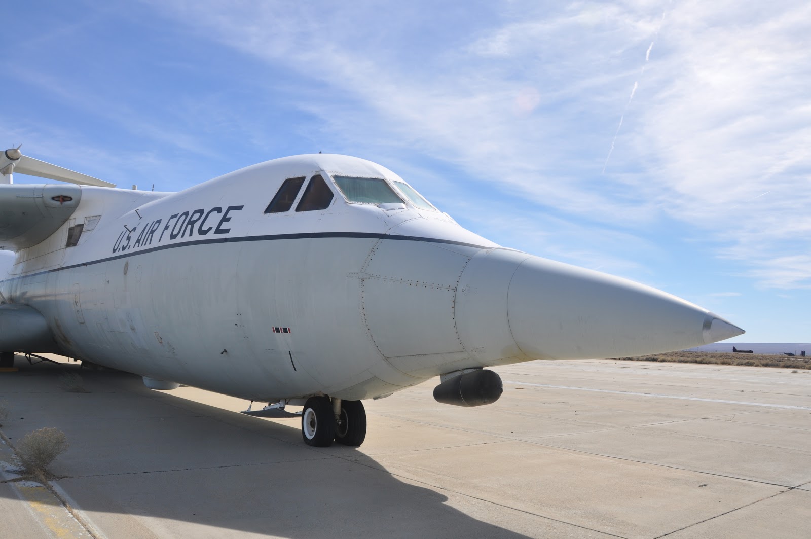
Thursday, Mar 8

We got up early anticipating an early departure to go to Morgan Hill to visit Heidi, Ferrell and their kids.  Heidi is Jill and Tony's daughter, old friends from our B-52 days at Blytheville AFB. 

About the time we got up, it started snowing.

We weren't surprised that it snowed, but it did delay our departure from Yosemite
I took the CRV down the road a ways to check on the status of our departure route.  There is a status board on all the roads near the village center.  Thankfully, our planned route was clear.  All the other routes required snow chains.  I also found that the roads were clear only a mile or so from the RV park, where the altitude was about 100 feet lower.

We hooked up the CRV and got ready to leave while we could before it could get much worse.

Our trip to Morgan Hill was pleasant, but some of the bridges coming out of Yosemite were rather intimidating.
The bridge was only slightly wider than the motorhome
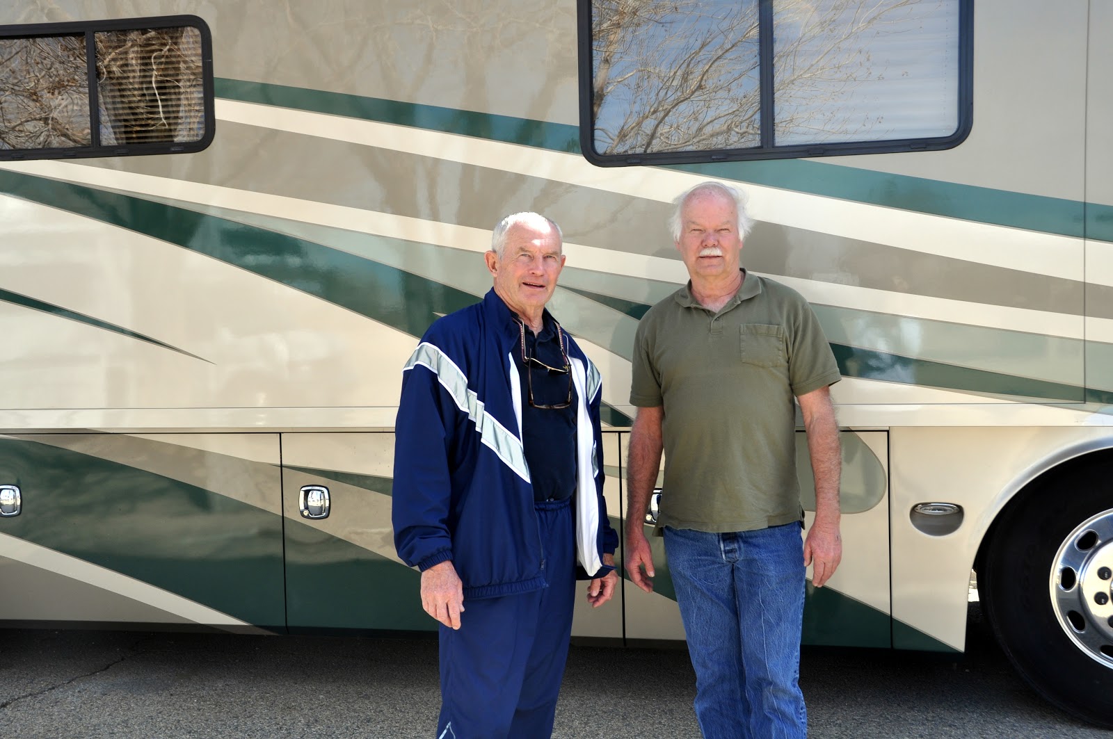
Heidi, Ferrell and their two kids came out to the campground where we are staying after we got settled in.  What a great family.  We had gone to their wedding in Utah year ago and were really looking forward to meeting the kids.  After some getting reacquainted sitting around the RV (while the kids drove and played with all the switches), we went into Morgan Hill and had a great meal an Italian restaurant.  We look forward to spending more time with them before moving on.


Tuesday, March 5, 2013

Sequoia National Park


Sunday, Mar 3

We really enjoyed Andy and Edwards AFB, but we must move on.

As soon as we headed West, we started seeing the largest concentration of wind turbines we've seen. They were on every mountain for miles.


The terrain is changing quickly – and we started to see green! After a month of mostly brown vegetation and brown earth, it is a welcome change to see green grass and trees.

We drove along beside miles and miles of orange groves and vegetable fields.

Around lunch time, we stopped at a roadside vegetable stand and picked up some local fresh vegetables and fruits. Across the street was a food truck and we noticed a lot of Hispanics around it. We decided that if the locals thought it was good, we'd try it. We bought some tacos and I had the best quesadilla I think I have ever had. We took them back to the motorhomes and enjoyed them while sitting beside the road next to an orange grove.
Tony's Tacos, the best quesadilla I think I've ever had
It was only a short drive to Sequoia National Park. Clara and I had been here 45 years ago when I was in B-52 training at Merced AFB, but we don't remember much.


We settle into Potwisha Park. We settle here for two reasons, low elevation (less chance of snow) and the road beyond it is limited to vehicles 22 feet of less (for a good reason).

This afternoon, Bill, Jan and I took off in the car and drove on up the road a few miles (from 2,000 feet to over 6,000). This is incredible country and I'm looking forward to exploring it more thoroughly tomorrow. Unfortunately, Bill and Jan are leaving tomorrow morning. They want to get to their daughters near San Jose early this week because their son, Scott will be there for a couple days on business.

Tonight we settle into a quiet evening, with a nice rain falling on the roof.

A beautiful "Green" meadow where the deer came to eat
Monday, Mar 4

Another day of superlatives. Bill and Jan left this morning headed toward Wendy's. Clara and I left shortly afterward to explore Sequoia. After a visit down the hill to the visitor center, we drove up into the Sequoia forest which are between 6-7,000 feet – where several feet of snow still lays on the ground.


Like the Grand Canyon, there are few words to describe seeing the largest tree in the world. Dimensions and data do not describe the magnificance of these trees. At one time today, we were standing beneath one of them, and the upper branches were literally in the clouds high above our heads.

These huge trees have been living for thousands of years, have survived every type of weather and man made defacing, and they still continue to grow. They makes people and cars seem insignificant when placed near them. Some pictures do begin to show their significance when the picture includes something of a scale that we can relate to.

For Anna and Evan:  Sequoia National Park was created on September 25, 1980.  The park, along with Kings Canyon National Park, encompass the most rugged portions of the Sierra Nevada.  From the highest peaks in the lower 48 states, Ice Age glaciers descended to carve some the country's deepest canyons.  

Extreme elevation change - from 1,500 to 14,494 feet - creates a great variety of habitats.  

The largest trees on earth grows here.  In all the world, sequoias grow naturally only on the west slope of the Sierra Nevada, usually between 5,000 and 7,000 feet of elevation.  

The General Sherman Tree is the largest of these, and is estimated to be 2,200 years old.  Its largest branch is almost seven feet in diameter.  Every year this tree grows enough new wood to produce a 60-foot tall tree of usual proportions.  

Sequoias don't die of old age and are resistant to fire and insect damage.  Most die by falling over.

They grow to 311 feet.  Their bark is 31 inches thick and the bases grow to 40 feet in diameter.

I hope these pictures provide some idea of the true size and beauty of the largest trees that exist.
The largest tree in the world

The annual growth rings on this tree when it was cut down show that it is 2,210 years old 
Mimi peers out of a tunnel cut through a fallen sequoia
Tree tunnel

Mimi's in the circle beneath the largest tree in the world.


A small car in a giant grove of sequoias
The road goes between two giant sequoias


This evening when we got back to the motorhome, there were three deer grazing in the meadow.  We enjoyed them for a couple of hours as they quietly went about eating their dinner.


Mimi talks to the deer
We plan to leave in the morning and perhaps go to Yosemite National Park.   

Edwards AFB

Friday, Mar 1

Today, we started moving north a little.  Bill and Jan had spent the night near Apple Valley getting work done on their RV, and we met up with them around noon In Barstow.

I never imagined so much desert in California.  We've been in the desert since we crossed the border.


Then we had another desert drive to Edwards AFB.  Edwards AFB is legendary for all the flight testing that has been done over the years.  It is also the alternative landing site for the non defunct space shuttle.

Edwards is the home of the Air Force Flight Test Center.  They conduct and support research and development flight test and evaluation systems from concept to combat.  It operates the U. S. Air Force Test Pilot School.
SR-71
The base has played a significant role in the development of virtually every aircraft to enter the Air Force inventory since World War II.

Notable occurrences at Edwards include Chuck Yeager's flight that broke the sound barrier in the Bell X-1, test flights of the North American X-15, the first landings of the Space Shuttle, and the 1986 around-the-world flight of the Rutan Voyager.

We set up camp in the real nice park on base.


Bill and I visited their on-site museum this afternoon, and hope to get back for more time tomorrow - they were closing when we got there, but they have some outside displays.  There seems to be a B-52 in most every museums display.

Our neighbors for the night are Gerry and Theta Brentnall from Loomis, Calif, both retired from the Air Force.  We all enjoyed a nice afternoon chatting with them.

I had trouble with my electric cord for the RV - it had sparked when I connected it and I couldn't get power to the RV.  After some investigation, we found that the wires had become separated in the plug.  The Camp Host, Andy Meyer came by and offered to fix it - now we have power.  Nice guy!  He also offered to take us on a tour of the base tomorrow morning.

Saturday, Mar 2

Wow! What a tour.  Andy had worked at the base for several years and was born nearby.  He seemed to know everything about the base.  We spend 3 hours with him and saw things we would never have seen on our on, along with a narration of the history of many of the historic events that have occurred.  He calls it his nickle tour.  We gave him a quarter - which he reluctantly accepted.

There are over 40 combinations of runways on the salt flats of the base

This B-52 (now retired) carried hundreds of different aircraft aloft for testing.

Each mark on the side of the aircraft represents a separate mission carrying test aircraft and weapons systems aloft.


The X-29 test airplane.  The wings are swept forward - very unusual.

Another NASA test airplane

Snoopy flying the X-29
C-141 test aircraft

B-1 Test aircraft.  That's me by the right engine.

Our camp host and guide, a great guy - Andy Meyer


Andy had suggested a Mexican restaurant in the town of Boran (where borax is mined), about 15 miles away.  We drove to Domingo's and enjoyed a great dinner.  The restaurant's walls are covered with pictures and mementos of many of the people and events that have occurred at Edwards.