Friday, February 24, 2012

El Paso, Texas

Feb 21, 12 we arrived in El Paso at Fort Bliss RV Park - a nice RV park except for being next to a major highway.  We arrived before lunch, so immediately Clara seeks out the best Mexican Restaurant in town, Tiki's.  And it was great.


After lunch, we go to a big import/export shop, supposedly two acres under roof and all Indian and Mexican stuff.  However, it appears that most of it is made in Indonesia.

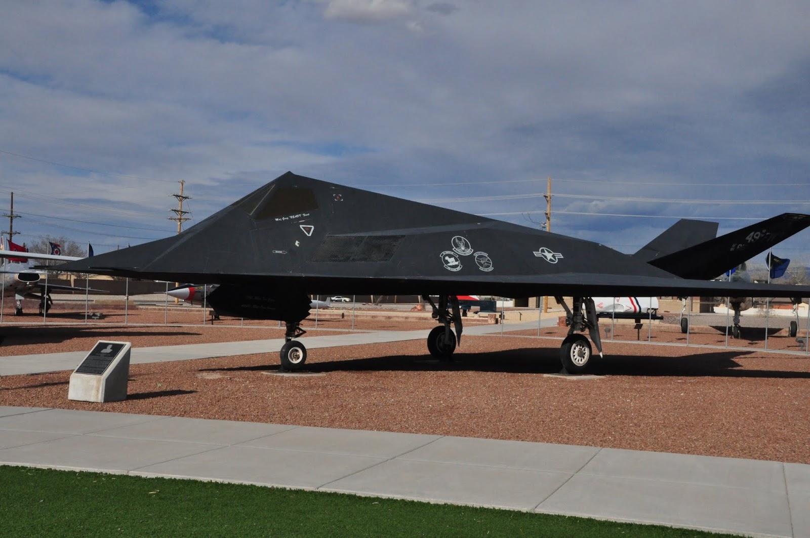
Then we went by what has to be the largest BX in the country on Fort Bliss.  It's like a huge shopping center.

We aren't very impressed with El Paso.  And we've been warned by everyone we ask that we "definitely" should not consider going across the river to Juarez, Mexico.  In fact, we heard that a lady was shot on this side of the river and there was a car jacking just today.  As much as we wanted to go to Mexico, we heeded the advice and kept our butts safely away from the border.  It's a real shame.  We really enjoyed going to Mexico when we were in pilot training just down the Rio Grande River in Laredo, Tx.

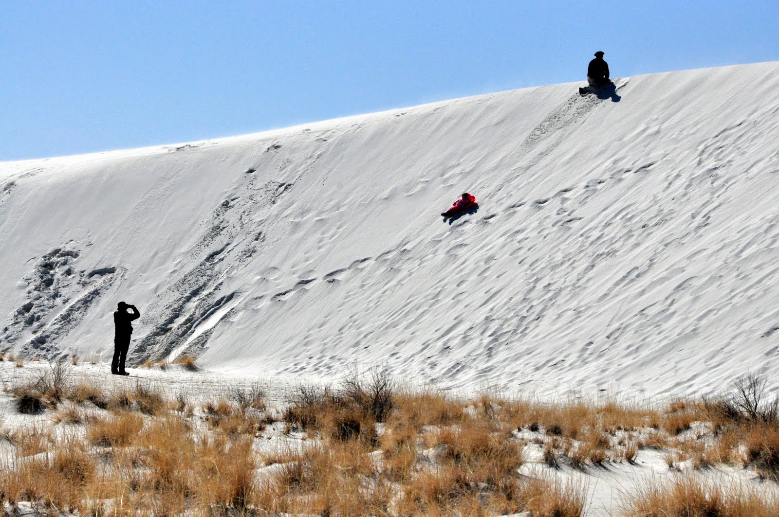
Feb 22, 12 after a good swim at the local YMCA, we had no plan in mind, but had found a State Park about 30 miles out of town (away from Mexico), so decided to take it in (after lunch at another great Mexican Restaurant).

After a couple months of traveling in the desert Southwest, it seems that every town we visit, whether large or small begins to look the same.  They all have the same fast food restaurants, motels, gas stations.  Everyone looks the same when you enter them (just like at home).

The only thing that distinguishes one area from another are the protected lands, National Parks/Monuments/Lands and State Parks.  This is the thing that really distinguishes one area from another.  Thankfully, our forefathers (i.e. elected leaders) had the forethought to protect those areas that distinguish one part of this great country from another.  (It is a real shame we do not have these kind of elected leaders today).

Today, we had the opportunity to visit another one of these special areas, the Hueco (Way-co) Tanks State Historic Site.  It's another one of those places that we expected little and were very pleasantly surprised. The name tanks from the the weathering processes which eroded the rock to form hollows (bowls) in the rock which retain any rain, making them a "watering hole" for the natives and a stopping point for stage coaches.


It is another of those places that geology created and left for us to marvel  at.

Pictorgraphs on the rocks

It rises above the Chinuahuan Desert as an oasis of nature and culture.  Due to its geology, relatively abundant water, and unusual structure, Hueco Tanks has served as a refuge for plants, animals and people for over 10,000 years.  Thousands of pictographs have been left by prehistoric and historic native Americans.

As with a lot of our treasures, there are those who will defile anything they can, and that is the case with this area.  Before the Park Service took it over (and after), people who have no respect for history have written on the rocks, often right over the historic pictographs.

Graffiti is nothing new however, some of the writings on the walls date back to the 1880's when stage coaches were stopping here.

Mimi enjoys the rocks
We pay close attention to the signs


We find ourselves at a place where, no matter which direction we take, we will continue to be in the desert.  The only National Park in the area is Great Bend NP a day or so South.  We want to get back to Beaufort in early March, and going to Great Bend will probably take a week or more.

So we've decided to head back to Albuquerque to leave the RV and then drop by and see Tony and Jill in Witchita and go back to Spruce Pine and then Beaufort.

If everything goes as planned, we'll leave Albuquerque Saturday morning.

Tuesday, February 21, 2012

Alamogordo and White Sands National Monument

Sun, Feb 19 we departed Las Cruses for Alamogordo. We want to see the White Sands National Monument while close by and Hollaman AFB is only a few miles from there. So tonight, we are boondocking (without hookups to water or electric) on Hollaman AFB.


The trip here was only about 1 1/2 hours, but it proved to be interesting. We had to go over a pass, which of course requires a drive down an incline. I had thought that we wouldn't need the lockout on the brakes for the tow dolly, but we found out otherwise. The brakes started smoking (again) on the way down the incline, so we had to install the brake lockout to keep the brakes from engaging coming down an incline. Not what I like to do (I like having brakes everywhere I can get them when driving 15 tons of machine), but necessary to keep the tow dolly from erupting into flames - which ain't good.

We rode around Alamogordo this afternoon. This place doesn't have much going for it except for the military base and the White Sands Missle Range. We did go to a Pistachio (nut) orchard. They grow a lot of them here. Clara bought some, but I don't care for them.

Pistachio Orchard
Here at Hollaman AFB there is a Squadron (20 planes) of the most interesting and probably most secretive aircraft in the Air Force, the F-22. 


F-22
Mon, Feb 20 we started early with trip of a few miles to the White Sands National Monument.  We weren't sure what to expect, but once again, our country has preserved a unique geology that is totally different from anything else. 


Located at the northern end of the Chihauahuan Desert in the Tularosa Basin ringed by mountains is one of the world's great natural wonders.  The glistening white sands of the White Sands National Monument encompass 275 square miles of gypsum sand, the largest gypsum dune field in the world.

The mineral, gypsum, was deposited in the region in a shallow sea 250 million years ago.  Eventually, it turned to stone and was uplifted 70 million years ago when the Rocky Mountains fored.  Eventually, a portion of the mountains collapsed, forming this valley.  The mountains remaining around the valley were filled with gypsum, which has been washed by rain into the valley.  There is no outlet from the valley, so the water saturated with gypsum forms into shallow lakes, which dry up in the summer, leaving the gypsum.  The wind blows almost all the time across these lakes from the Southwest, blowing the gypsum into the dunes we see today. 


It looks like we are driving on snow


It's looks like Mimi is standing in the snow

Visitors to the monument can rent slides and go down the dunes

When the wind picks up to 15 mph, it starts moving the gypsum forming the dunes


The sand is like wet talcum powder - and it sticks to your shoes and anything else.  Our car floor is covered in it and I would think it is hard to get out.

We went on a Ranger led tour at sunset


Sunset on the desert


Monday, February 20, 2012

Las Cruses, NM

Fri, Feb 17 on the way to Las Cruses, Clara did some research on her new IPAD and found a nice campground for the night, Hacienda RV Resort.  What made it even better was their free margarita happy hour this evening for all the campers in the park. 

Sat, Feb 18 we were off bright and early for a downtown market and craft show, which apparently is a weekly (or maybe twice weekly event).  There were probably a 100 vendors of every variety selling everything from farm fresh vegatables to works of art.  Then we were off to the largest pecan farm in the US, Stahmann's.  They have 128,000 pecan trees and have been in operation for 80 years.

Pecan orchard
This afternoon we went to Old Mesilla, a Mexican settlement that was established in 1850.  It is now a shopping and restaurant area, but maintains much of the flavor of an old Mexican village.

Interesting artwork in front of a shop

I house in Old Mesilla being remodeled


I enjoyed the afternoon in Old Mesilla listening to music