Tuesday, March 5, 2013

Sequoia National Park


Sunday, Mar 3

We really enjoyed Andy and Edwards AFB, but we must move on.

As soon as we headed West, we started seeing the largest concentration of wind turbines we've seen. They were on every mountain for miles.


The terrain is changing quickly – and we started to see green! After a month of mostly brown vegetation and brown earth, it is a welcome change to see green grass and trees.

We drove along beside miles and miles of orange groves and vegetable fields.

Around lunch time, we stopped at a roadside vegetable stand and picked up some local fresh vegetables and fruits. Across the street was a food truck and we noticed a lot of Hispanics around it. We decided that if the locals thought it was good, we'd try it. We bought some tacos and I had the best quesadilla I think I have ever had. We took them back to the motorhomes and enjoyed them while sitting beside the road next to an orange grove.
Tony's Tacos, the best quesadilla I think I've ever had
It was only a short drive to Sequoia National Park. Clara and I had been here 45 years ago when I was in B-52 training at Merced AFB, but we don't remember much.


We settle into Potwisha Park. We settle here for two reasons, low elevation (less chance of snow) and the road beyond it is limited to vehicles 22 feet of less (for a good reason).

This afternoon, Bill, Jan and I took off in the car and drove on up the road a few miles (from 2,000 feet to over 6,000). This is incredible country and I'm looking forward to exploring it more thoroughly tomorrow. Unfortunately, Bill and Jan are leaving tomorrow morning. They want to get to their daughters near San Jose early this week because their son, Scott will be there for a couple days on business.

Tonight we settle into a quiet evening, with a nice rain falling on the roof.

A beautiful "Green" meadow where the deer came to eat
Monday, Mar 4

Another day of superlatives. Bill and Jan left this morning headed toward Wendy's. Clara and I left shortly afterward to explore Sequoia. After a visit down the hill to the visitor center, we drove up into the Sequoia forest which are between 6-7,000 feet – where several feet of snow still lays on the ground.


Like the Grand Canyon, there are few words to describe seeing the largest tree in the world. Dimensions and data do not describe the magnificance of these trees. At one time today, we were standing beneath one of them, and the upper branches were literally in the clouds high above our heads.

These huge trees have been living for thousands of years, have survived every type of weather and man made defacing, and they still continue to grow. They makes people and cars seem insignificant when placed near them. Some pictures do begin to show their significance when the picture includes something of a scale that we can relate to.

For Anna and Evan:  Sequoia National Park was created on September 25, 1980.  The park, along with Kings Canyon National Park, encompass the most rugged portions of the Sierra Nevada.  From the highest peaks in the lower 48 states, Ice Age glaciers descended to carve some the country's deepest canyons.  

Extreme elevation change - from 1,500 to 14,494 feet - creates a great variety of habitats.  

The largest trees on earth grows here.  In all the world, sequoias grow naturally only on the west slope of the Sierra Nevada, usually between 5,000 and 7,000 feet of elevation.  

The General Sherman Tree is the largest of these, and is estimated to be 2,200 years old.  Its largest branch is almost seven feet in diameter.  Every year this tree grows enough new wood to produce a 60-foot tall tree of usual proportions.  

Sequoias don't die of old age and are resistant to fire and insect damage.  Most die by falling over.

They grow to 311 feet.  Their bark is 31 inches thick and the bases grow to 40 feet in diameter.

I hope these pictures provide some idea of the true size and beauty of the largest trees that exist.
The largest tree in the world

The annual growth rings on this tree when it was cut down show that it is 2,210 years old 
Mimi peers out of a tunnel cut through a fallen sequoia
Tree tunnel

Mimi's in the circle beneath the largest tree in the world.


A small car in a giant grove of sequoias
The road goes between two giant sequoias


This evening when we got back to the motorhome, there were three deer grazing in the meadow.  We enjoyed them for a couple of hours as they quietly went about eating their dinner.


Mimi talks to the deer
We plan to leave in the morning and perhaps go to Yosemite National Park.   

Edwards AFB

Friday, Mar 1

Today, we started moving north a little.  Bill and Jan had spent the night near Apple Valley getting work done on their RV, and we met up with them around noon In Barstow.

I never imagined so much desert in California.  We've been in the desert since we crossed the border.


Then we had another desert drive to Edwards AFB.  Edwards AFB is legendary for all the flight testing that has been done over the years.  It is also the alternative landing site for the non defunct space shuttle.

Edwards is the home of the Air Force Flight Test Center.  They conduct and support research and development flight test and evaluation systems from concept to combat.  It operates the U. S. Air Force Test Pilot School.
SR-71
The base has played a significant role in the development of virtually every aircraft to enter the Air Force inventory since World War II.

Notable occurrences at Edwards include Chuck Yeager's flight that broke the sound barrier in the Bell X-1, test flights of the North American X-15, the first landings of the Space Shuttle, and the 1986 around-the-world flight of the Rutan Voyager.

We set up camp in the real nice park on base.


Bill and I visited their on-site museum this afternoon, and hope to get back for more time tomorrow - they were closing when we got there, but they have some outside displays.  There seems to be a B-52 in most every museums display.

Our neighbors for the night are Gerry and Theta Brentnall from Loomis, Calif, both retired from the Air Force.  We all enjoyed a nice afternoon chatting with them.

I had trouble with my electric cord for the RV - it had sparked when I connected it and I couldn't get power to the RV.  After some investigation, we found that the wires had become separated in the plug.  The Camp Host, Andy Meyer came by and offered to fix it - now we have power.  Nice guy!  He also offered to take us on a tour of the base tomorrow morning.

Saturday, Mar 2

Wow! What a tour.  Andy had worked at the base for several years and was born nearby.  He seemed to know everything about the base.  We spend 3 hours with him and saw things we would never have seen on our on, along with a narration of the history of many of the historic events that have occurred.  He calls it his nickle tour.  We gave him a quarter - which he reluctantly accepted.

There are over 40 combinations of runways on the salt flats of the base

This B-52 (now retired) carried hundreds of different aircraft aloft for testing.

Each mark on the side of the aircraft represents a separate mission carrying test aircraft and weapons systems aloft.


The X-29 test airplane.  The wings are swept forward - very unusual.

Another NASA test airplane

Snoopy flying the X-29
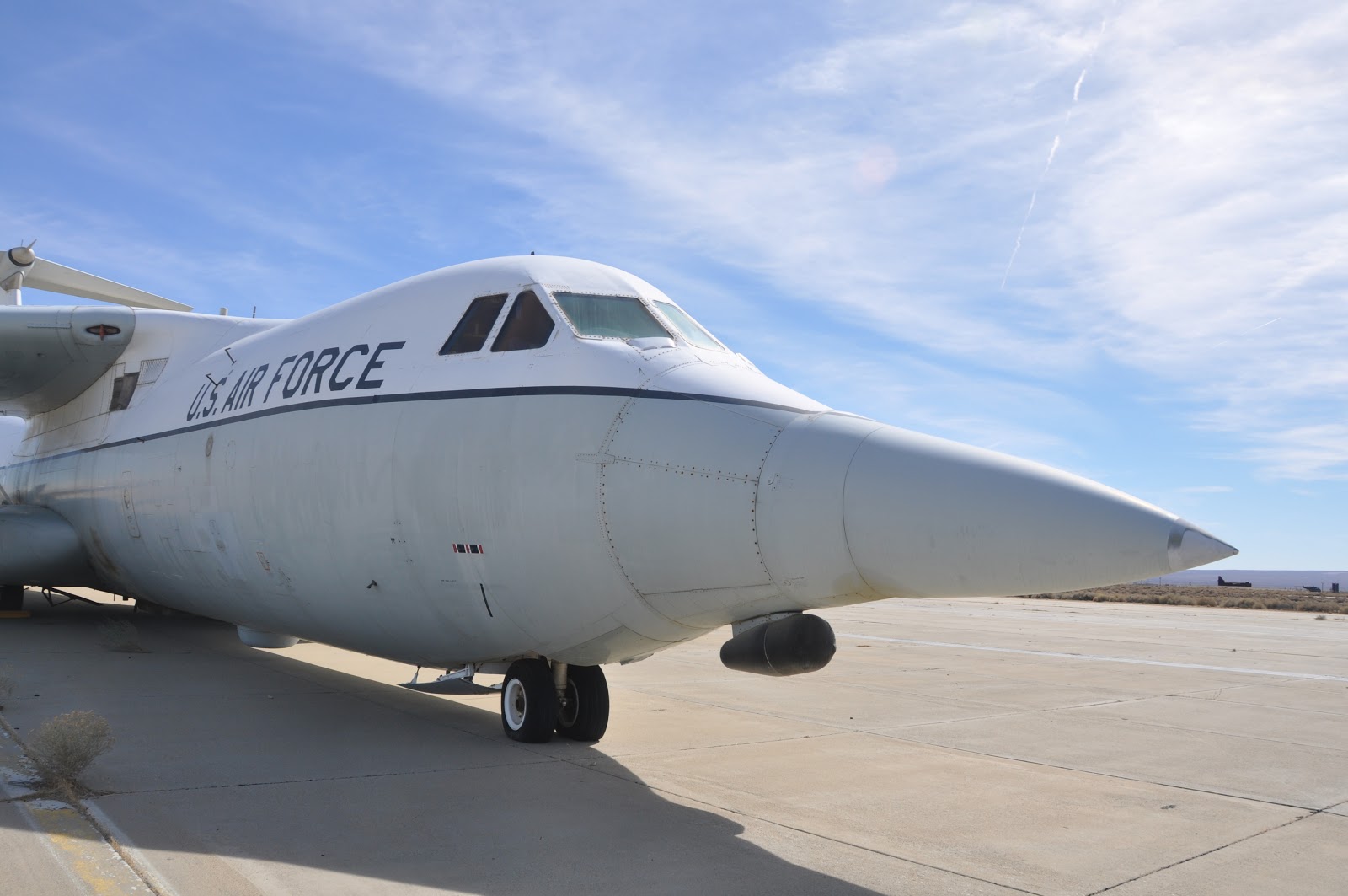
C-141 test aircraft

B-1 Test aircraft.  That's me by the right engine.

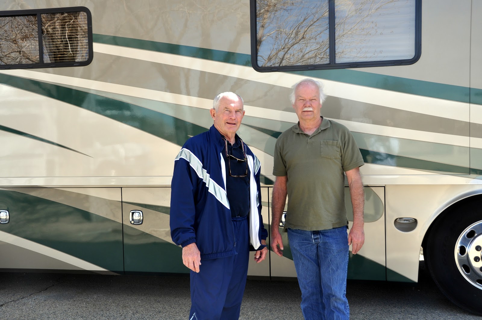
Our camp host and guide, a great guy - Andy Meyer


Andy had suggested a Mexican restaurant in the town of Boran (where borax is mined), about 15 miles away.  We drove to Domingo's and enjoyed a great dinner.  The restaurant's walls are covered with pictures and mementos of many of the people and events that have occurred at Edwards.

Saturday, March 2, 2013

Joshua Tree National Park


Thursday, Feb 28

Bill starts working on getting his slide repaired early today.  It ends up that they have to go to an RV repair center near Barstow.

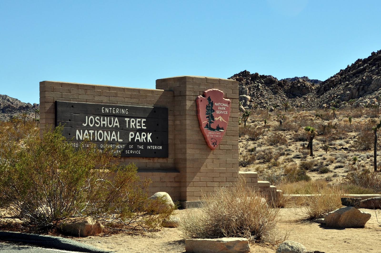
After they leave, Clara and I take a ride through Joshua Tree National Park.

As with all National Parks, this one is special.  It seems that no matter what the geography around the parks, there is always something spectacular and different in the parks.  This one doesn't disappoint.


While getting ready for this picture, Clara got pricked by a cactus and it was very painful.

Huge mountains of boulders are scattered everywhere.

Joshua trees with snow capped mountains in the distance

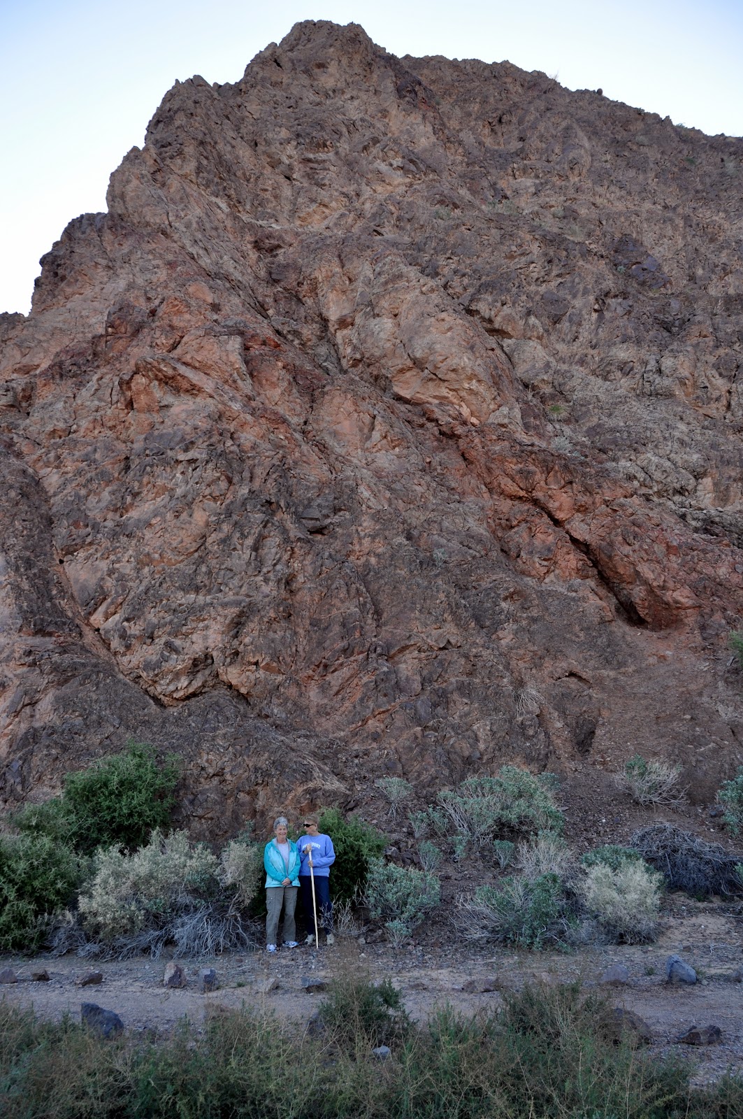
Evan, can you find the two men on this rock?
For Evan and Anna:  Joshua Tree National Park is a transition zone between two great deserts, the Mojave and Colorado.  Deserts don't have firm boundaries, and much of this park is in the overlap between these two.

The Colorado Desert covers the eastern half of the park, below 3,000 feet.  This habitat of the lower Colorado River valley is part of the much larger Sonoran Desert, which spans southern Arizona and northwestern Mexico.

The western half of the park at elevations above 3,000 feet, is Mojave Desert habitat.  Amid the boulder stacks are pinyon pines, junipers, scrub oaks, Mojave yuccas, and Mojave prickly pear cacti.

What tells you that you are truly in the Mojave Desert is the wild-armed Joshua Tree.  It isn't really a tree but a species of yucca.  Like other desert plants, its waxy, spiny leaf exposes little surface area, efficiently conserving moisture.  Joshua trees can grow over 40 feet tall - at the leisurely rate of an inch a year.

There are huge mountains of rocks in the western half of the park.  The rock piles began underground eons ago as a result of volcanic activity.

Magna - in this case a molten form of the rock called monzogranite - rose from deep within the Earth.  As it rose, it intruded the overlying rock, the Pinto gneiss formation.  As the granite cooled and crystallized underground, cracks (joints) formed horizontally and vertically.

The granite continued to uplift, where it came in contact with groundwater.  Chemical weathering caused by groundwater worked on the angular granite blocks, widening cracks and rounding edges.  Eventually the surface soil eroded leaving heaps of monzogranite scattered across the lands like careless piles of toy blocks.

This afternoon I had the opportunity to swim in the base pool, which is Olympic size.  Only 16 laps to a mile, versus our pool at home (and most pools) are 36 laps (or 32 laps in some) per mile.  It was a new, nice experience not having to make turns so often, but the laps were certainly long.

Thursday, February 28, 2013

Lake Havasu, Az

Sunday, Feb 24

As much as I liked staying out in the desert isolated from the world, I was outvoted and we "up-anchored" and headed North.

We eventually ended up on Interstate 8 headed toward San Diego (not where we are headed).  We soon get off.

We have a pretty strong crosswind (winds out of the North and we're headed West).  According to the weather service, it's up to 30 mph.  This makes for a bit of a challenge driving 30,000 pounds, standing 12 feet high like a billboard.

We stop for lunch at Painted Rock Petroglyph Site

The "Big House" and "Little House"

Painted Rock Petroglyph Site.  These drawings are hundreds of years old. 


For Evan and Anna:  We stop for lunch at a neat place just a little ways off the Interstate, the Painted Rock Petroglyph site.  The O'odham people have called this area home for thousands of years.  The petroglyph designs that are here are evidence of a vibrant and interesting culture of the past.

The petroglyphs are in a rock knoll that consist of a granite outcrop overlain by highly weathered basalt boulders.  The dark basalt have experienced a long period of weathering.  Over thousands of years desert winds, rain, and alkalies have gradually covered these rocks with a dark shiny coating known as desert varnish.  The dark varnish provided an excellent medium for petroglyph artists.  When the dark coating was pecked away, it revealed a lighter color basalt below, making the images stand out.

Tonight we stopped at Sundance RV Resort, whose motto is "Enjoy the active lifestyle".  It has quickly become one of less favorite stops.  It is pretty obvious that a lot of people from Northern climes choose to get out of the miserable Northern weather in the winter and come to this area.  Who can blame them!

This RV resort is one of many in this area and they appear to be much the same.  Some amenities, like pools, shuffleboard, etc, and all types of "homes" crammed in one on top of the other.  I believe if there was a loud snorer in the next site, we could hear them.  A vast difference from last night when we were quite alone.  Oh well, we'll move on tomorrow.  This isn't even worth a picture.


Monday, Feb 25

We gladly leave the “RV Resort”. Ain't our style, but obviously lots of people like it because there are lots of RV Resorts here and they all seem to be full.

We are headed North on Hwy 65. There are stretches of highway that are 20 miles that don't have a curve.

Jan takes the helm
We pass through Quartzsite. This is a place that I have often read about in RV magazines. It's in the middle of the flattest desert I can imagine and it obviously is a place of many RVs. We pass quickly on the way to Lake Havasu.

Wow! What a nice surprise. This area is beautiful. We are still in the desert, but there is actually some green and some flowers. Must be the recent rains.

The "Big House"
Tonight we are camped in an Arizona State Park, the River Island State Park which adjoins the Colorado River. It is absolutely beautiful.

River Island State Park from the top of the cliff
For Anna and Evan: Try to find the origins of the Colorado River and follow it to the Pacific Ocean. Your Dad will be able to help you find the origins because it is near where he was a camp counselor in Colorado. It also goes through the Grand Canyon.

Right across the river by the campsite is California. We plan to stay here at least a couple of days then go into California.

Tuesday, Feb 26

After a slow start we drove the 25 miles to Lake Havasu City. I don't know what we expected, but what we got was not very impressive. The town was founded in 1974 and doesn't appear to have a city center. It's just miles of franchise food, houses, condos, and commercial development. However, it is located in a beautiful location.

I remember hearing something about the London Bridge having been torn down, relocated and rebuilt somewhere out west, but didn't realize it was Lake Havasu City. Of course we had to see it. Quite disappointing – it looks like an ordinary bridge built out of rocks, much like the bridges along the Blue Ridge Parkway. Anyway, we had lunch at a restaurant looking at the bridge. It reminds me of something I think was said by P T Barnum of Barnum of Barnum and Bailey Circus. I think he said “there's a fool born every minute”. In this case the first fool was the guy who paid to have the bridge relocated. The second fool is people like us who actually go to see it thinking they'll see something. Oh well.
Lunch at London Bridge
Bill and I took another hike from the RV park to the top of a cliff that literally goes straight up next to the park. It's one of the more beautiful hikes we've taken. The scenery around the park is truly impressive. And tomorrow we're on the way to California. We've made reservations at Twenty-Nine Palms Marine Base. This is the first time I've felt compelled to make reservations on this trip. It seems the closer we get to California, the more crowded it gets. We'll be near Joshua Tree National Park, one of the places I'm interested to see.


The big cliff on one side of the RV park. Jan and Clara actually got up early to hike to the top this rock.

working on a jigsaw puzzle


The Colorado River at the RV Park


Wednesday, Feb 27

After a short hike to the top of the cliff overlooking the RV Park, we departed for California, which in reality is just across the river from the campground.


We thought we had seen long straight road and isolation, but this part of California takes the lead.  We went for 75 miles and never saw any sign of life. 

We have reservations at 29 Palms Marine Base RV Park.  After quite a bit of hassle, we are settled into this desert RV Park on base.  This is quite different from any place we've ever parked.  Each site has a covered car port and nothing else but sand.  It supposedly gets up to 120 degrees in the summer.  Right now it's in the 30's at night and around 70 in the afternoon.

Bill has some problems with the rear slide on his RV.  Curiously, it won't go out all the way.